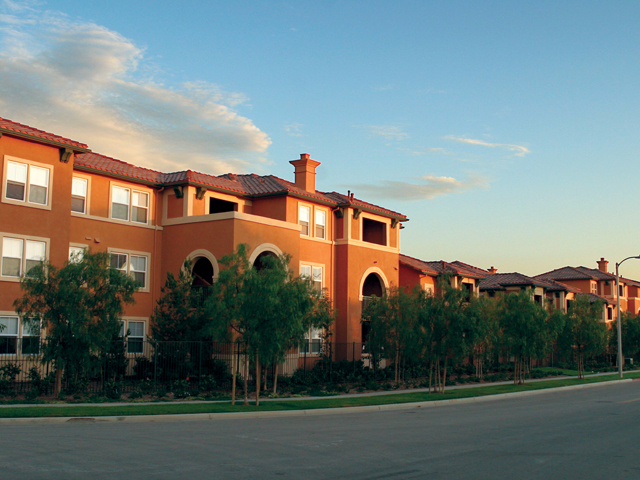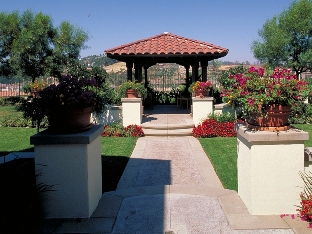

Tustin Ranch
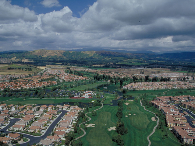
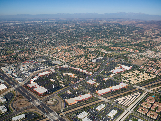
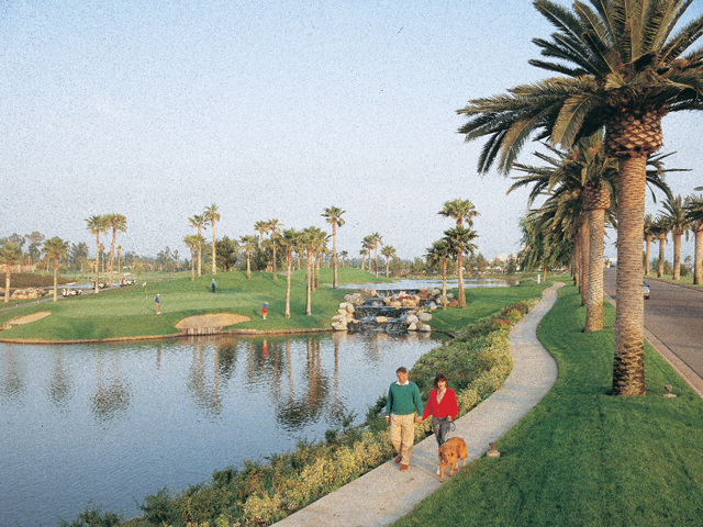
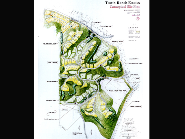
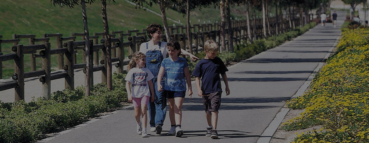
Tustin Ranch® extends north from the Santa Ana Freeway (I-5) abutting Jamboree Road and can be thought about as two distinct geographic areas – the southern two thirds which is virtually flat and the more hilly northern third. Linking the hillside areas with the flatlands is a continuous spine of open space, which runs through the center of Tustin Ranch.
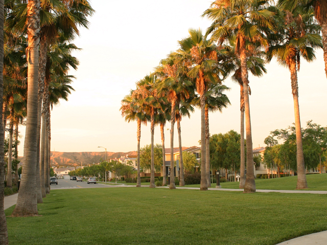
By using a single plant palette throughout the spine, the identity of Tustin Ranch is reinforced. Additionally, informal plantings of eucalyptus trees extend down from the hillside along the parkways into the neighborhoods and village open space, tying the individual neighborhoods together.