The Irvine Ranch® forms the geographic heart of Orange County.
The 93,000-acre Ranch, located less than an hour south of Los Angeles and about 90 minutes north of San Diego, stretches nine miles along the Pacific coast and 22 miles inland and encompasses more than one-fifth of Orange County’s total 798 square miles.
The land that makes up The Irvine Ranch is extremely diverse, and the Master Plan for The Ranch directly responds to the natural features found here. To truly understand the evolution of the master plan for The Irvine Ranch, you must first understand the land. The Irvine Company has always had a special admiration and respect for the land. The unique location at the southern edge of the Los Angeles basin and the natural and man-made features on The Ranch profoundly affected the Master Plan and the built form.
There are three distinct types of topography on The Ranch: the coast and coastal hills, the central valley and the northern mountains adjacent to the Cleveland National Forest. These topographic features divide The Ranch into three areas: the coastal sector, valley sector and mountain sector. The natural features within each area helped shape the Master Plan and influenced the detailed planning of the residential villages as well as decisions to preserve a significant amount of open space in all three sectors.
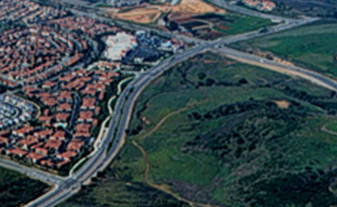
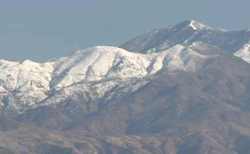
The coastal or southern sector comprises 35,000 acres and is bordered by the San Diego (405) Freeway and the Pacific Ocean. The valley sector stretches from the San Joaquin Foothills to the Santiago Hills. These 22,000 acres of predominantly flat lands make up the central area of The Irvine Ranch. The 33,000-acre mountain sector, with Irvine Lake at its center, covers the northeastern section of The Ranch.
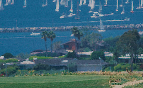
The 122-square-mile San Diego Creek Watershed is The Irvine Ranch’s primary watershed, connecting to the ocean via the Back Bay. The Back Bay covers 736 acres of land and forms the transition from the west end of the coastal hills to the more level land found between Newport Beach and the Palos Verdes Peninsula.
In 1960, the Irvine Company commissioned architect William Pereira to create a general plan for the entire Irvine Ranch.
The plan was developed for three distinct topographies on The Ranch: The Coastal Sector, with 35,000 acres including UC Irvine; the Valley Sector, with 22,000 acres of flat land that make up The Ranch’s central area, and the Mountain Sector, with 36,000 acres that cover The Ranch’s northeastern section.
Planning by sector with these distinct topographies in mind would make the implementation of the Master Plan a more manageable, realistic process.
The function of The Irvine Ranch® Master Plan is to guide development and to set standards. Within this framework, the plan is designed to be flexible in order to address the needs and opportunities presented by cultural, economic and environmental changes and particularly to fulfill the needs of the people who choose to live and work here.