
In 1902, the Pacific Electric Railroad line opened from Long Beach to Newport Beach, creating a real estate boom along its route. This railway line was a major factor in determining the location of the El Toro Marine Base and the U.S. Navy’s lighter-than-air facility, both built during the early 1940s. Both airfields greatly influenced the types of land use that surrounded them. Most of this land was dedicated to commercial use.
During the 1920s, Orange County Airport–now John Wayne Airport–was built along the northern edge of The Irvine Ranch. The construction of the county’s first public airport also influenced the location of some of the commercial and residential developments in the Master Plan.
During the 1950s, the opening of the I-5 and I-405 freeways was a catalyst for Orange County’s population growth, creating a boom in both residential and commercial building.
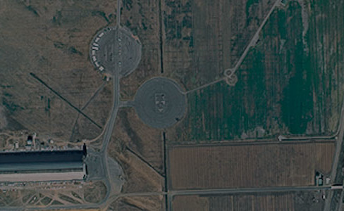
Until the mid-1980s, a system of reservoirs and aqueducts used for agricultural purposes influenced the locations of a number of communities on The Irvine Ranch. Because the valley sector relied so heavily on agriculture, water systems played a pivotal role in helping shape the physical form of the Master Plan.
Since the adoption of the Master Plan by the cities on The Irvine Ranch, the remaining agricultural land has been envisioned as a transitional use. The Irvine Company has since maintained a sharp focus on creating communities on The Irvine Ranch that fulfill the vision of the Master Plan.